TODAY'S AIR QUALITY
What is the air quality right now?
There are a couple ways to easily find out:
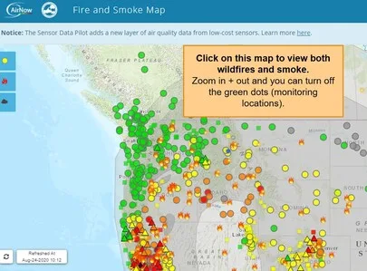
We really like Fire.AirNow.Gov - this USFS-EPA site shows fires, smoke, and PM2.5 (fine particulate matter; the main pollutant of concern) from both permanent and temporary monitoring locations around the U.S. You can set the site for your location and be sure to toggle on the smoke plumes. Click on the map, below.
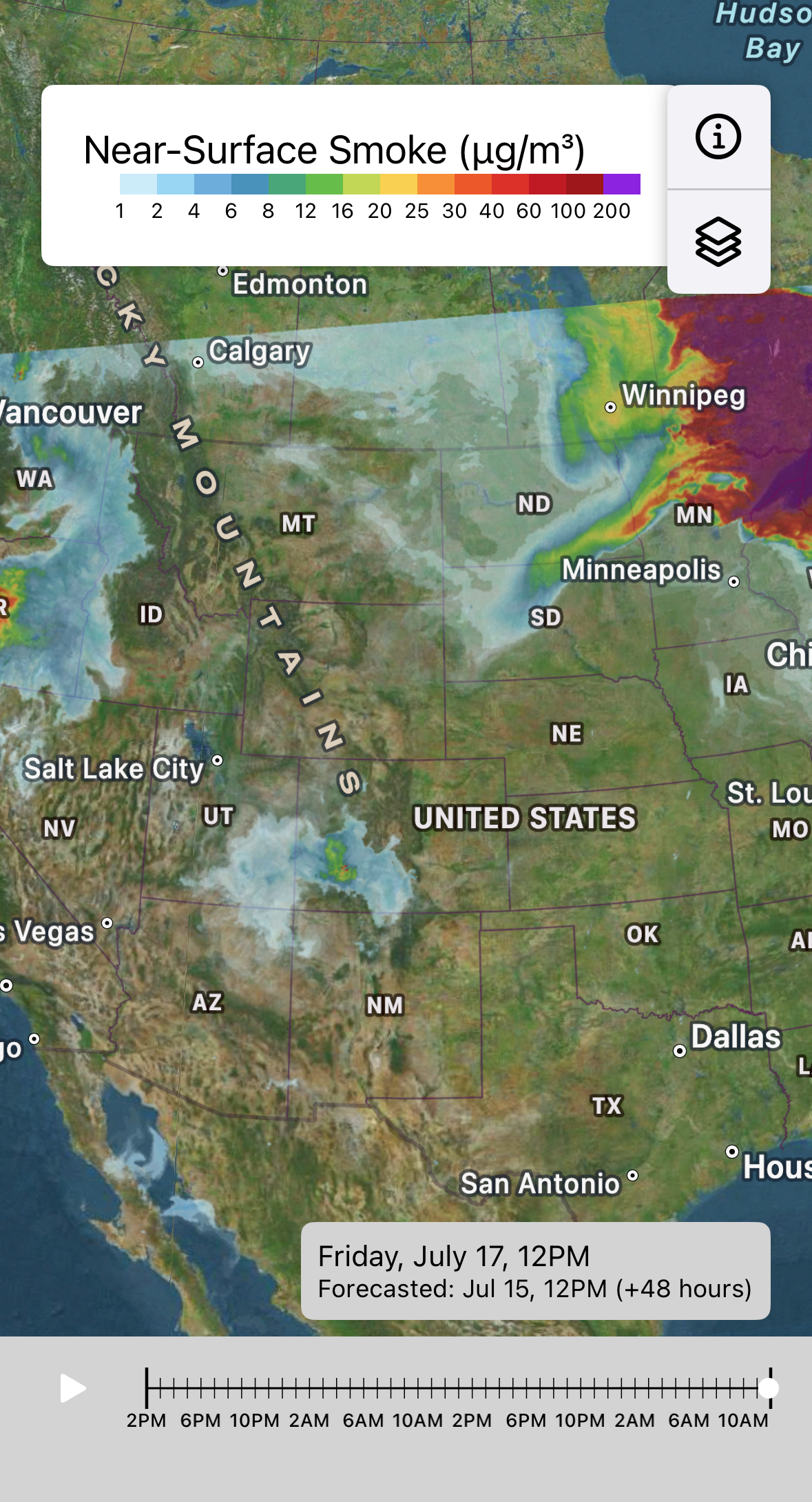
Looking for a Smoke FORECAST? We like this new app which uses data from NOAA to forecast ahead 24 hours. (Sorry - it's only available for iPhones right now.) Search Air Quality Index in the Apple store.

Where are the fires?
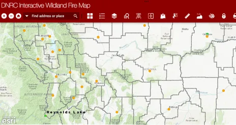
Click on the image below for the MT DNRC Interactive Wildland Fire Map. This map shows the size and locations of wildfires in Montana, but does not display smoke plumes.
What's the current AQI?
Click on this the "Air Now" in the middle of this widget. You can adjust for your location!
What is AQI?
The gauge above shows the current air quality index for Missoula MT within the hour. The Air Quality Index highlights different categories of air quality ranging from good to hazardous. The higher the AQI, the unhealthier the air quality is and the more it can affect your health. Different color categories correspond to a different range of air quality with green being the best and maroon representing hazardous air quality.
no monitor?
Visibility Guidelines
Cannot see 5 miles? Unhealthy Air
Cannot see 2 miles? Very Unhealthy Air
Cannot see 1 mile? Hazardous Air
How to estimate air quality based on visibility:
- Use pre-determined landmarks that were established on a clear day for distances.
- Face away from the sun.
- Determine the limit of your visible range by looking for targets at known distances (miles).
More helpful maps and resources...
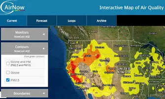
Air Now provides current and forecasted air quality information for Montana and other states across the U.S. Click on the link and bookmark the nearest town to you. Data is collected by the U.S Environmental Protection Agency. Hourly data on this site differs somewhat from Today's Air site because of data averaging.
Visit the EPA's Smoke Ready Toolbox site for additional resources.